Geographic Information Systems (GIS)
Dovetail Cultural Resource Group, a Mead & Hunt Company (Dovetail), has in-house Geographic Information Systems (GIS) capabilities that offer clients efficient data management and high-quality cartographic products. We fully understand the complex nature of geographic data and how to best integrate it seamlessly into cultural resource management.
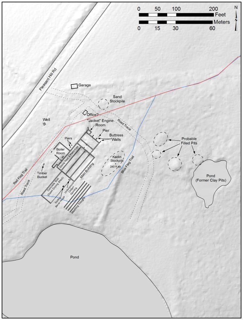
Our GIS ability combined with our cultural resource knowledge can provide streamlined project completion and compliance. For example, we have had great success developing and implementing archaeological predictive models based on our vast knowledge of precontact and historic settlement patterns. This approach allows our clients to pinpoint culturally sensitive locations in which to focus investigations. Targeting areas identified via modeling serves to best direct project funding, which better serves our clients’ needs and the historic resources being studied.

Our dedicated full-time staff offer the following GIS and graphic services which are integrated into all aspects of our cultural resource consulting services:
- Data acquisition and maintenance
- Predictive modeling
- Historic map digitization and georeferencing
- Viewshed analysis
- Landscape mapping and modeling
Current software and hardware capabilities:
- Trimble hand-held GPS units
- Nikon Total station
- Esri ArcMap and ArcPad
- Golden Software Surfer 3D modeling
- AutoCAD and AutoSketch
